
Welcome to Botswana
Botswana is a land-locked country dominated in geographical terms by the Kalahari Desert – a sand-filled basin averaging 1,100 metres above sea level. The country lies between longitudes 20 and 30 degrees east of Greenwich and between the latitudes 18 and 27 degrees approximately south of the Equator.
Botswana is bordered by Zambia and Zimbabwe to the northeast, Namibia to the north and west, and South Africa to the south and southeast. At Kazungula, four countries – Botswana, Zimbabwe, Zambia and Namibia – meet at a single point mid-stream in the Zambezi River.


The Chobe River runs along part of its northern boundary; the Nossob River at its southwestern boundary; the Molopo River at its southern boundary; and the Marico, Limpopo and Shashe Rivers at its eastern boundaries. With the exceptions of the Okavango and Chobe areas in the north, the country has little permanent surface water.
The country is situated in the southern African region and about two-thirds of Botswana lies within the Tropics; it is bisected by the Tropic of Capricorn (the imaginary line of latitude which is 23° 30′ south of Equator) just south of the town of Mahalapye (see maps). This is the most southern latitude where the sun is directly overhead at noon. This happens on December 22st, the longest day of the year in this hemisphere.
The distance between the extreme north and the extreme south of Botswana is about 1,110 kilometres. It is 960 kilometres across at its widest. The area of Botswana is approximately 581,730 square kilometres and is about the size of France or Kenya. It is approximately 500 km from the nearest coastline, to the southwest.
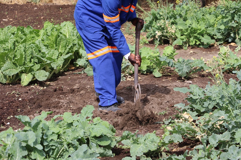
The eastern hardveld, where 80% of the country’s population lives and where its three largest urban centres are situated, is a wide strip of land running from the north at Ramokgwebane to the south at Ramatlabama. It has a more varied relief and geology with inselbergs (outcrops of resistant rock) and koppies (rocks that have been weathered into blocks) dotting the landscape. The south eastern hardveld also has a slightly higher and more reliable rainfall than the rest of the country (except Bobirwa, which is about dry as Kgalagadi); indeed the natural fertility and agricultural potential of the soils, while still low, are greater than in the Kalahari sandveld.
The Kalahari Desert stretches west of the eastern hardveld, covering 84% of the country. The Kalahari extends far beyond Botswana’s western borders, covering substantial parts of South Africa, Namibia and Angola.
‘Desert’, however, is a misnomer: its earliest travellers defined it as a ‘thirstland’. Most of the Kalahari (or Kgalagadi, which is its Setswana name) is covered with vegetation including stunted thorn and scrub bush, trees and grasslands. The largely unchanging flat terrain is occasionally interrupted by gently descending valleys, sand dunes, large numbers of pans and, in the extreme northwest, isolated hills, such as Aha, Tsodilo, Koanaka and Gcwihaba. Many of the pans have dune systems on the southwest side, which vary in size and complexity. The pans fill with water during the rainy season and their hard surface layer ensures that the water remains in the pans and is not immediately absorbed. These pans are of great importance to wildlife, which obtain valuable nutrients from the salts and the grasses of the pans.